Airscope
Airscope is a leader in asset digitisation, with a vision of bringing your assets from the field into the boardroom.Airscope
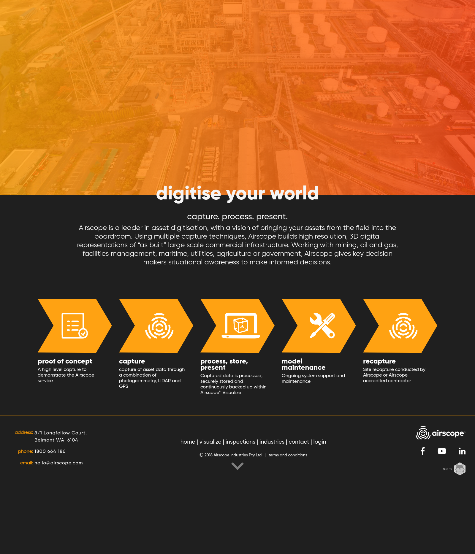
Airscope is an asset visualisation company focused on bringing industrial brownfield assets from the field into the boardroom. Using multiple capture techniques Airscope creates a high resolution digital twin, which forms a 3D canvas for accessing all company asset data via the Airscope Visualize Software as a Service (SaaS). Capture: Airscope mobilises highly trained field teams to capture laser scan data, GIS information, terrestrial photogrammetry and aerial photogrammetry which is merged together to form an holistic digital model of the entire asset. Process: Big Data = Big Processing. Airscope has in house processing specifically tailored for the type of visual and geospatial data we capture. In house processing guarantees data security and allows us to manage quality at all stages of processing. Present: Airscope Visualize is a SaaS that gives you digital access to your assets from the comfort of your company offices. A photorealistic digital twin allows teams to better manage assets thereby enhancing safety outcomes, increasing efficiency, intra company collaboration and profitability. Airscope works in a variety of industries ranging from mining, oil and gas, facilities management, maritime, utilities, agriculture and government.
