FarmMap4D
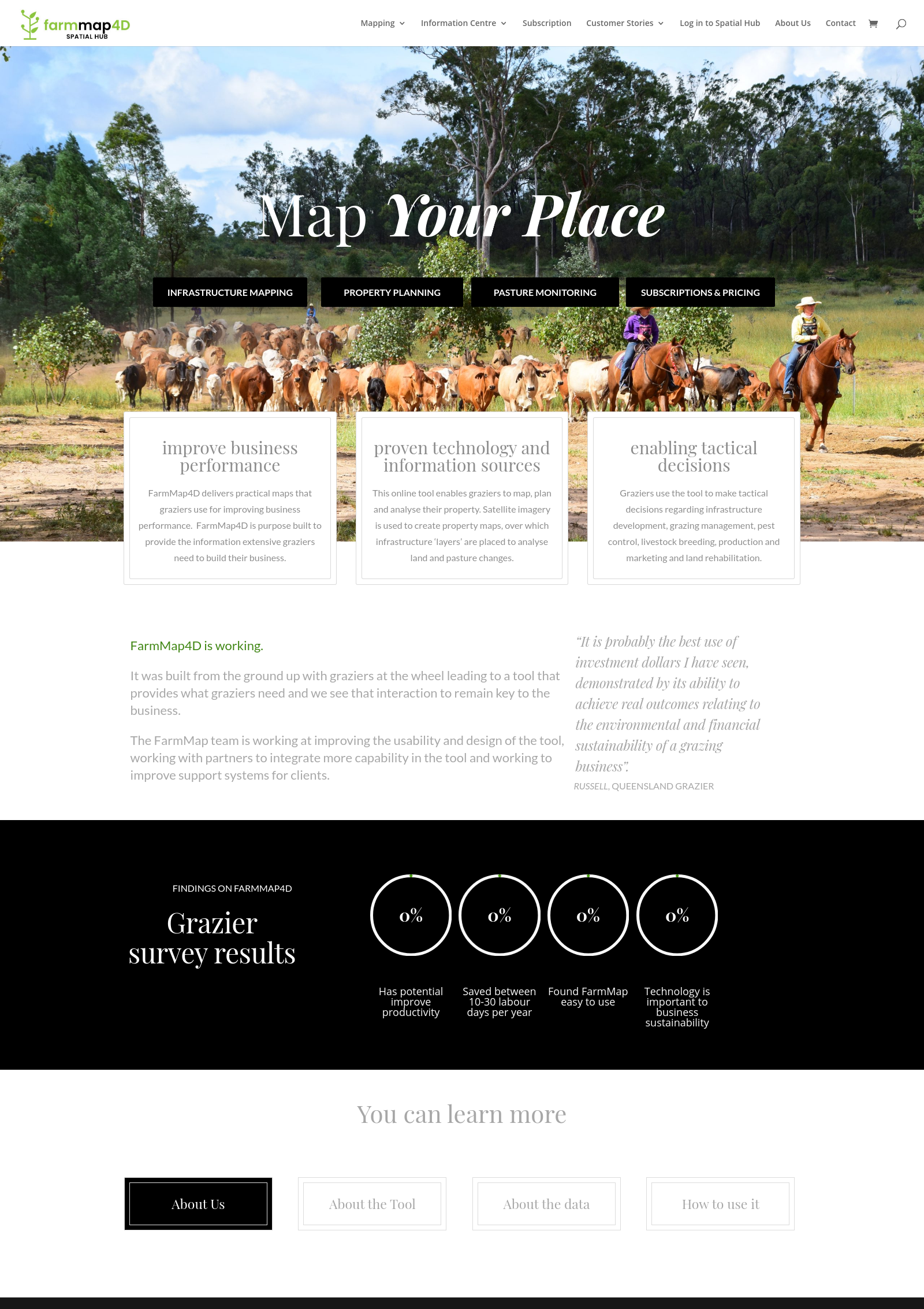
Mapping & imagery technology providing a web-based tool allowing rangelands to be managed profitably & sustainably.FarmMap4D
FarmMap4D is a spatial asset management product that allows customers to manage their assets in 4 dimensions: X, Y, Z and T. This makes the product unique in the market and ideal for managing assets that may change with time as well as location.
Images
Taken on 2021-02
