Soar
Join 1000's of users on Soar who are accessing HD satellite imagery and sharing their geospatial maps and imagery.Soar
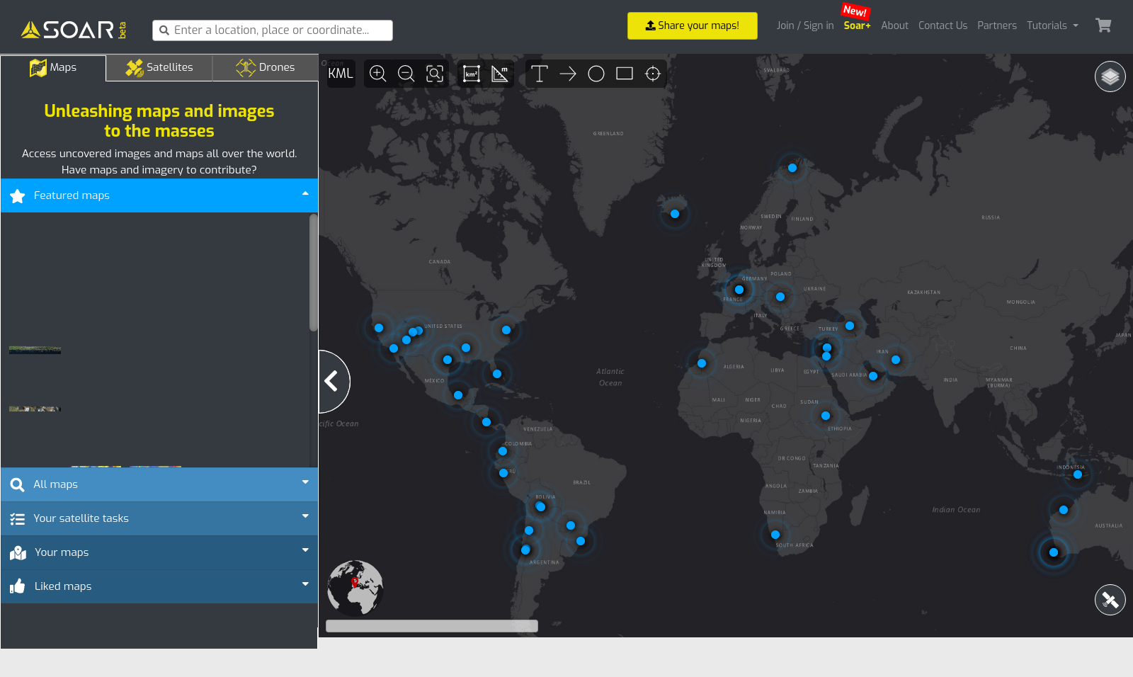
Soar is a platform for the future of all maps and imagery. We are building a living map of the world using satellite, aerial and drone imagery. Think of Soar as a living super-map of the world with access to daily satellite imagery feeds, high-resolution aerial sensors and drone content collected by the greater community. Currently, over 80% of imagery captured by satellites, planes and drones is used only through one channel. Soar will allow providers of under-utilised mapping content to monetise it at a global scale and unlock its true value. The Soar platform is the evolution for the capture, monetisation, and distribution of mapping content.
Videos
Images
Taken on 2020-12
Blog Posts
9th June, 2021
What Pride Month means at Soar.Earth
7th June, 2021
Unlocking Declassified Military Imagery
30th April, 2021
Saint Vincent showers the Caribbean in ash
16th April, 2021
Mapping Nigeria
30th March, 2021
The worldwide traffic jam around the blocked Suez Canal
8th March, 2021
Three mega-volcanoes which shook 2020
4th March, 2021
Turning Satellite Imagery into Coveted Works of Art
5th February, 2021
Jump-starting a career in GIS
1st December, 2020
How to Choose ️Satellite️ Imagery on Soar
Location
Perth
